Website content other than annual reports last updated May 31, 2013.
Watershed Counts
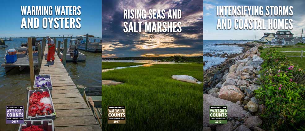
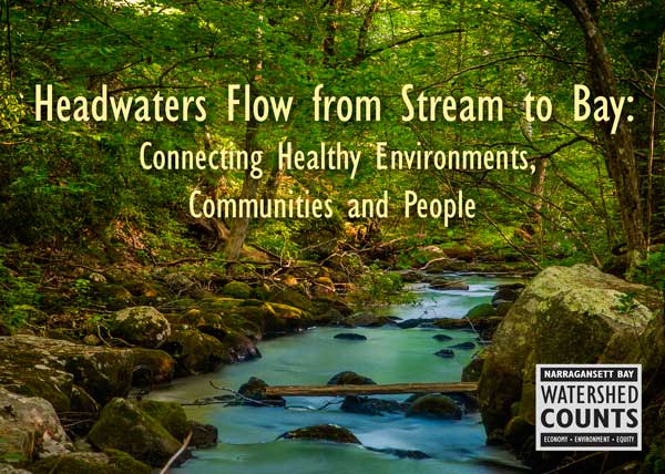
Watershed Counts was initiated by the Coastal Institute at URI and the Narragansett Bay Estuary Program (NBEP) with the support of 60 partners [link to the Partners page] throughout the bay and its watershed. WC was designed as a bridge project to report on the environmental health of Narragansett Bay and its watershed until such time as NBEP developed its updated status and trends report. With NBEP’s 2017 publication of The State of Narragansett Bay and Its Watershed along with plans for regular updates, Watershed Counts had served its intended purpose and subsequently ceased publication. Given the valuable data and associated case studies captured in these reports, this website will be retained as a resource.
Website content other than the annual reports was last updated on May 31, 2013, and the final annual report was published in 2017. If you have questions regarding past Watershed Counts reports or this website, please contact the Coastal Institute at coastalinstitute@etal.uri.edu or NBEP at julia.bancroft@nbep.org.